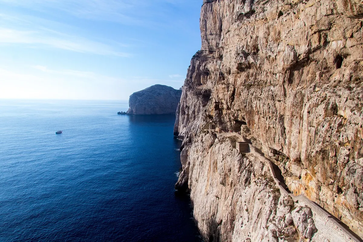
The South West Coast Path runs for 630 miles from Minehead in Somerset to Poole Harbour in Dorset, and almost nobody walks it in one go. Most people walk it in days: a headland here, an estuary there, a village pub at the end of it. If you are planning a first taste of it, the walking itself is the easy part to get right. It is the logistics — tides, buses, how far is genuinely reasonable — that decide whether the day feels like an adventure or a slog. Sort those out and you can simply get on with enjoying the best long-distance path in the country.
Choosing a Section You'll Actually Enjoy
For a first outing, think six to ten miles rather than the twenty-mile days you see in other people's logs. Pick a stretch with a bus stop, station or village at both ends, and check that both ends are reachable on the day you are walking — especially if that day is a Sunday.
Three shapes that work well
- Point to point. Walk the coast in one direction and catch a bus back. The most rewarding option, if the timetable cooperates.
- A short circuit. Follow the coast path out and an inland footpath or lane back. Woolacombe and Mortehoe can be joined this way, and it saves all the transport faff.
- Out and back. Base yourself in one village and turn around at half your energy. Less scenic variety, far fewer logistics.
Section guides from the South West Coast Path Association split the route into manageable days and are honest about where the going is hardest. The acorn waymarking makes route-finding straightforward, but do not assume a coastal path is flat: "the coast path" covers everything from the level miles along the Taw estuary and Braunton Burrows to granite steps and steep combes in west Cornwall.
Distance Is a Poor Guide to Effort
A mile along a clifftop is not a mile along a towpath. The whole route climbs a startling amount — measured in tens of thousands of metres, which is several Everests stacked up — and even a short day can involve more ascent than the distance suggests.
A useful rule of thumb: allow an hour for every three miles, plus an extra hour for every 600 metres of climbing, then add a bit for stops, photographs and rucksack adjustment. On this path, the climbing figure is the one that matters. Expect stiles, gates, steps, mud in winter and wind on every headland, and add twenty or thirty per cent to any estimate if it is your first coastal walk. Prevailing south-westerlies mean that walking roughly eastwards often feels easier than the other way round.
Reading a Tide Table Without Panicking
Tide tables are not complicated once you know which numbers count. Most list high and low water times and heights for a reference port, and the port matters: high water at Ilfracombe is not high water at Bude, so use the nearest one.
- The time of low water. This is your window for any beach or estuary stretch.
- The height of low water. A low of 0.5 metres exposes a huge amount of sand; a 2.4-metre neap low leaves very little. The time tells you when, the height tells you how much.
- Springs or neaps. Around a new or full moon the range is at its biggest: very low lows, very high highs. Neap tides are gentler in both directions.
- When the tide turns. Aim to be past a tidal section within about an hour either side of low water, and always know where you would climb off the beach if you had to.
Some of the most tempting parts of the path are passable only at the right state of tide. The sand between Bude and Sandymouth, the beach below the cliffs at Crooklets, and the low-tide crossings in the estuaries all come with local signs that are blunt about the risks. Believe them. Never work on the theory that the tide is going out so it must be fine.
Several estuary crossings have seasonal ferries — the Avon at Bantham, the Camel at Padstow, the Fowey, the Kingsbridge estuary at Salcombe and the Dart at Dartmouth among them. A few have no ferry at all and rely on the tide being low, the Erme at Mothecombe being the best-known example. Check those against the tide table before you leave the house, not when you arrive at the water's edge.
Getting There and Back Again
On a linear walk, transport is half the planning. The realistic options:
- Train. Stations sit close to the path at Weymouth, Exeter, Teignmouth, Dawlish, Plymouth, Liskeard for Looe, Par for Newquay, Truro, Falmouth, Penzance and St Erth for St Ives.
- Bus. Local operators run seasonal coastal routes and open-top services that link the main walking villages. Timetables thin out sharply out of season.
- Ferry. Often the quickest way across an estuary, and usually seasonal and weather-dependent.
- Taxi. Local firms are used to walkers and will often quote for a pre-booked transfer between two villages. Share the fare if you can.
- Two cars. Leave one at each end, but check whether overnight parking is allowed and what it costs before you commit.
Rural last buses leave early, sometimes before six in the evening. Save a screenshot of the timetable; mobile signal comes and goes in the coves.
What to Carry, and What to Leave Behind
Boots or sturdy shoes with real grip, waterproof jacket and trousers, a spare warm layer, a hat, and one and a half to two litres of water on a warm day. Add food, a charged battery pack, a paper map or an offline map on your phone, sun cream in summer, blister plasters and a small first aid kit. Take some cash: ferries, honesty boxes and the occasional pub with a temperamental card machine.
Leave behind the heavy camera kit, the denim, and any timetable that assumes nothing will go wrong.
The Night Before: Checks That Save a Day
Read the forecast properly, including wind speed — a headland can feel two seasons harsher than the village you set off from. Check for path diversions, which are common after winter storms and cliff falls; the South West Coast Path Association and National Trust pages carry current notices, as do car park boards. Re-check the tide times. Tell someone at home your route and your expected finish time.
If you have a heart condition, joint trouble, or you are returning to hill walking after a long break, it is worth a word with your GP before committing to big ascents. If something does go wrong, dial 999 and ask for the coastguard; the what3words app is used by the emergency services for locating people.
A Simple Plan for Your First Walk
- Pick a section of six to ten miles with a bus, train or ferry at both ends.
- Choose a day where low water falls in the middle of your walking hours, if your section includes any beach or estuary.
- Note the last bus home and the number of a local taxi.
- Start early enough that you have daylight to spare at the end.
- Walk at a pace where you can still hold a conversation.
- Finish near a pub, and order something to eat while you wait for the bus.
Keep the first day modest. The path is not going anywhere, and almost everyone who walks one section comes back for the next.
Photo: andi_peh / Pixabay